
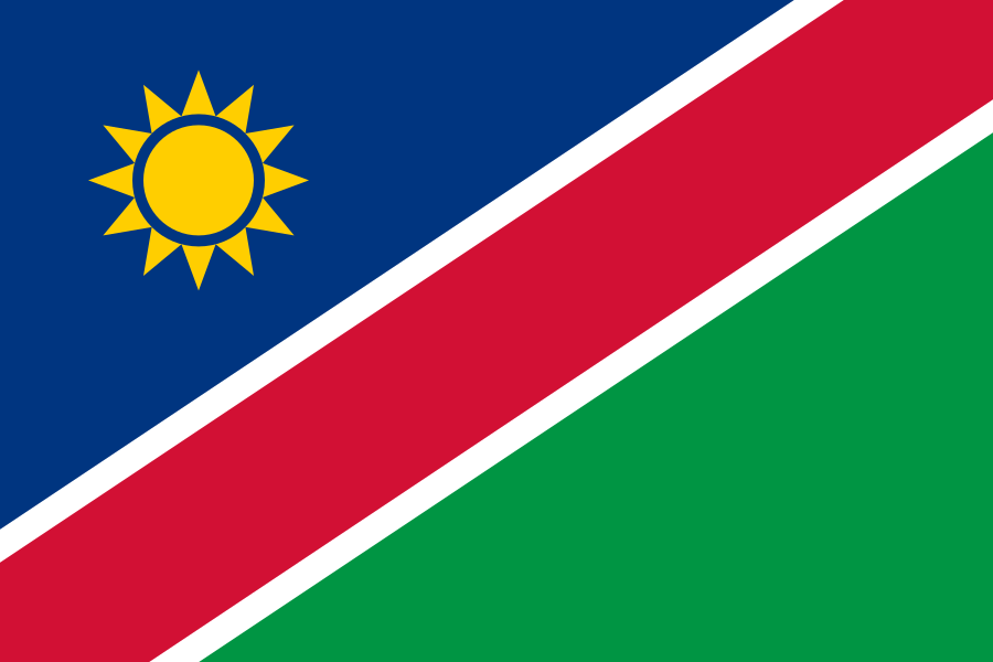
Namibia
Republic of Namibia
- Capital: Windhoek
- Southern Africa
- 4 neighbours in Travle
Namibia overview
Namibia is in Southern Africa, Africa. Its capital is Windhoek. The World Bank counts about 3.1 million people for 2025 on 824,292 km² of surface area.
In the Travle map, Namibia has 4 neighbours: Angola, Botswana, South Africa and Zambia. From there, 125 countries can be reached by land.
Population, density and language
The World Bank counts 3,092,816 people in Namibia for 2025, which is 134th of 170 by population. Spread over 824,292 km² of surface area (2024), that is about 3.8 people per km², 165th of 169 by density.
Source: World Bank, World Development Indicators (SP.POP.TOTL), data updated 2026-10-08; checked 2026-10-19.Rankings compare the entries in Travle's country list that have World Bank data (170 with population, 169 with surface area). Some list entries are territories, so a rank here is not a rank among sovereign states.
| Language | Share (est.) | Status |
|---|---|---|
| Afrikaans | 75% | — |
| Kuanyama | 35% | — |
| Ndonga | 21% | — |
| Nama | 11% | — |
| Herero | 9.1% | — |
| English | 7% | official |
CLDR shares are estimates of people who use each language, so they can add up to more than 100%.
How big is Namibia, really?
With 824,292 km² (2024, land plus inland water), Namibia is 33rd of 169 by surface area and covers 0.59% of the combined area of those entries.
In that ordering, Venezuela (912,050 km²) is just larger; Mozambique (799,380 km²) just smaller.
Source: World Bank, World Development Indicators (AG.SRF.TOTL.K2), data updated 2026-10-08; checked 2026-10-19.Namibia at a glance
- Capital
- Windhoek
- Region
- Southern Africa, Africa
- Population
- 3,092,816 (2025)
- Surface area
- 824,292 km² (2024)
- Density
- 3.8 people per km²
- Official languages
- English
- Currency
- Namibia Dollar (NAD) and Rand (ZAR)
- Calling code
- +264
- Internet domain
- .na
- Land neighbours
- 4 (Natural Earth) · 4 (Travle)
Each figure is sourced in its own section below. "Not available" means no source used on this page has the figure.
Namibia within Southern Africa
Natural Earth places Namibia in Southern Africa (UN subregion). Of the 5 entries from Travle's country list in that subregion, Namibia is 2nd by population and 2nd by surface area, with 4.2% of the combined population of those entries.
| Country | Population (2025) | Area km² (2024) |
|---|---|---|
 South Africa | 64,747,319 | 1,219,602 |
| Namibia | 3,092,816 | 824,292 |
 Botswana | 2,562,122 | 581,730 |
 Lesotho | 2,363,325 | 30,360 |
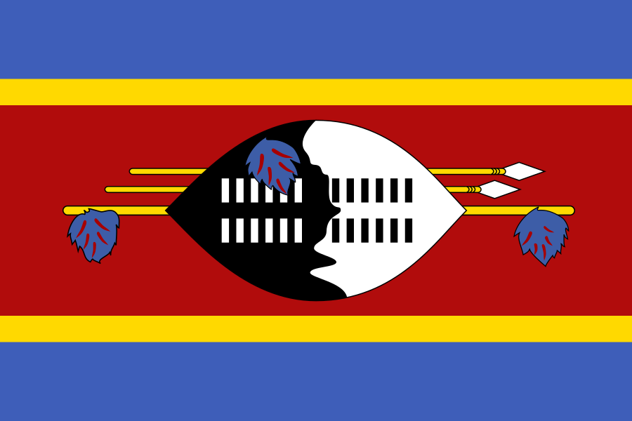 Eswatini | 1,256,174 | 17,364 |
Sources: World Bank WDI (SP.POP.TOTL, AG.SRF.TOTL.K2), data updated 2026-10-08; subregion from Natural Earth 1:110m. A dash means the World Bank has no figure.
Location, borders and position
Namibia is in Southern Africa, Africa. Its outline in Natural Earth lies in the southern hemisphere and the eastern hemisphere. Its capital, Windhoek, is at about 22.6° S and 17.1° E.
On land, Natural Earth's boundary data gives Namibia 4 neighbours; the Travle game map gives it 4.
Sources: Natural Earth 1:110m (outline and capital) and 1:10m boundary lines (neighbours), public domain.
Where Namibia is on the map
Countries bordering Namibia
Natural Earth's boundary data and the Travle map agree on these 4 land neighbours.
| Country | Direction | Land boundary in Natural Earth | Border in Travle |
|---|---|---|---|
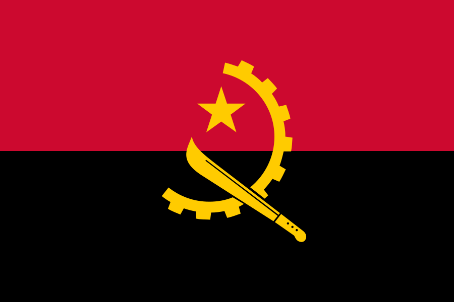 Angola | north | Yes | Yes |
| Botswana | east | Yes | Yes |
| South Africa | south-east | Yes | Yes |
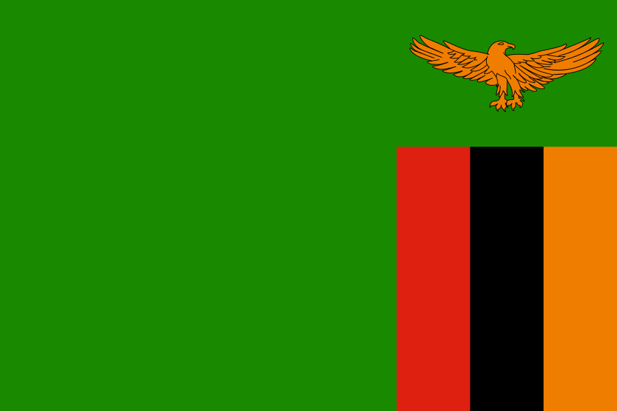 Zambia | north-east | Yes | Yes |
Geographic column: Natural Earth 1:10m Admin-0 boundary lines (land) 5.1.0 (public domain), checked 2026-10-19; Natural Earth shows de facto boundaries and does not settle disputes. Travle column: the game's own border map.
Money and language in Namibia
Currency
- Namibia Dollar: code NAD, numeric 516. ISO 4217 lists it for this country only.
- Rand: code ZAR, numeric 710. ISO 4217 lists it for 3 entries in total, so it is shared with 2 others.
Official languages
- English: official in 91 territories in CLDR, including Namibia.
CLDR is a technical reference, not a legal text. Laws and constitutions can describe languages differently.
Currency, domain and dialling code
- Currency
- Namibia Dollar (NAD) and Rand (ZAR)
Source: Unicode CLDR release-48-2 currencyData (region NA); code, name and number from ISO 4217 list one (SIX), published 2026-09-17; checked 2026-10-19. - Internet domain
- .na
Source: IANA Root Zone Database; checked 2026-10-19. - International dialling code
- +264
Source: ITU, List of ITU-T Recommendation E.164 assigned country codes (position on 15 December 2016); checked 2026-10-19. - Time
- UTC+02:00 all year (2026)
IANA zones: Africa/Windhoek
Source: IANA Time Zone Database 2026e (zone.tab); UTC offsets computed for 15 Jan and 15 Jul 2026 with Node.js ICU tz 2026a; checked 2026-10-19.
Namibia codes and abbreviations
| Standard | Code |
|---|---|
| ISO 3166-1 alpha-2 | NA |
| ISO 3166-1 alpha-3 | NAM |
| ISO 3166-1 numeric | 516 |
| ISO 4217 currency (Namibia Dollar) | NAD · 516 |
| ISO 4217 currency (Rand) | ZAR · 710 |
| Country-code top-level domain | .na |
| ITU-T E.164 country code | +264 |
Sources: Natural Earth (ISO 3166-1), ISO 4217 list one (SIX), IANA Root Zone Database, ITU E.164 list; linked with dates in the sections above.
Fun facts about Namibia
- With about 3.8 people per km², it is among the ten least densely populated entries in that list.
- English has official status in 91 territories in Unicode CLDR, Namibia among them.
- The longest Travle trip from Namibia takes 16 steps, to Papua New Guinea and Timor-Leste.
- UNESCO lists 2 World Heritage properties in Namibia; the earliest inscription dates from 2007.
Each fact is calculated from the sources cited on this page.
How far can you travel from Namibia in Travle?
Starting from Namibia and moving one border at a time, this is how many countries in the game's map you reach at each step. Countries that need a sea crossing never appear, because the game only follows land borders.
| Steps | Countries | Share |
|---|---|---|
| 1 | 4 | |
| 2 | 8 | |
| 3 | 8 | |
| 4 | 6 | |
| 5 | 6 | |
| 6 | 7 | |
| 7 | 10 | |
| 8 | 8 | |
| 9 | 13 | |
| 10 | 13 | |
| 11 | 25 | |
| 12 | 10 | |
| 13 | 2 | |
| 14 | 1 | |
| 15 | 2 | |
| 16 | 2 |
In total 125 of the 171 other countries in the map can be reached by land. The longest trips take 16 steps and end in Papua New Guinea and Timor-Leste. The other 46 cannot be reached without crossing the sea (18 in North America, 13 in South America, 6 in Oceania, 5 in Asia, 3 in Europe, 1 in Africa).
Nearby routes from Namibia
Shortest land routes in the game's map to the countries up to 3 steps away. There can be several routes of the same length; this list shows one. The section above shows how many countries are reachable in total.
- Angola: 1 step (Namibia → Angola)
- Botswana: 1 step (Namibia → Botswana)
- South Africa: 1 step (Namibia → South Africa)
- Zambia: 1 step (Namibia → Zambia)
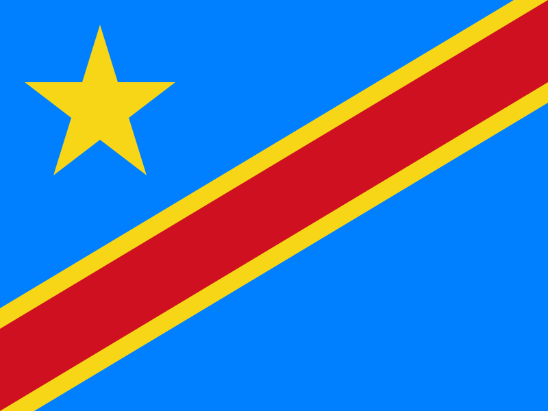 Democratic Republic of the Congo: 2 steps (Namibia → Angola → Democratic Republic of the Congo)
- Eswatini: 2 steps (Namibia → South Africa → Eswatini)
- Lesotho: 2 steps (Namibia → South Africa → Lesotho)
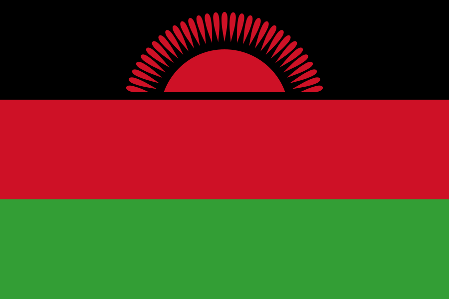 Malawi: 2 steps (Namibia → Zambia → Malawi)
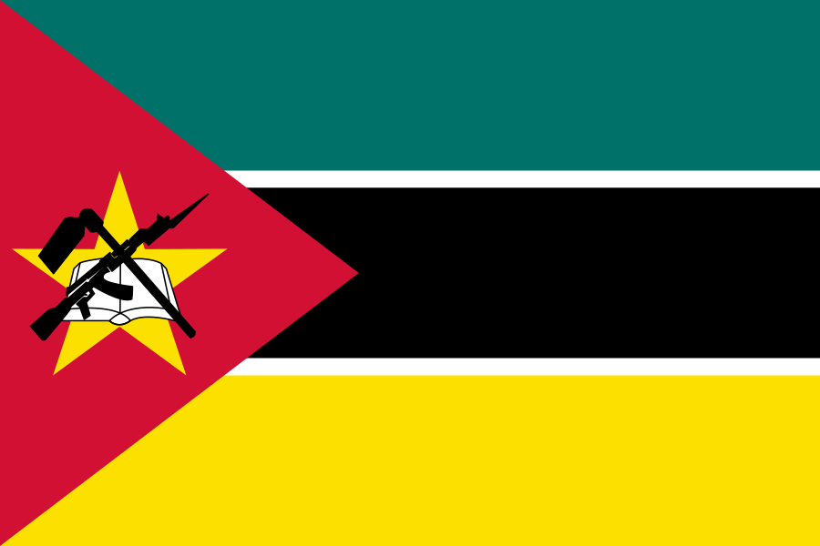 Mozambique: 2 steps (Namibia → South Africa → Mozambique)
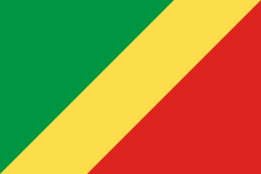 Republic of the Congo: 2 steps (Namibia → Angola → Republic of the Congo)
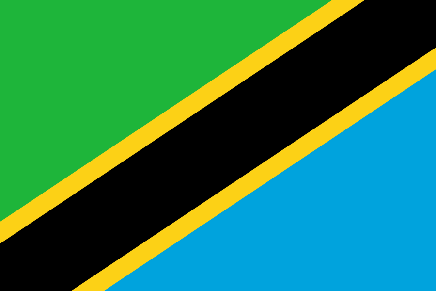 Tanzania: 2 steps (Namibia → Zambia → Tanzania)
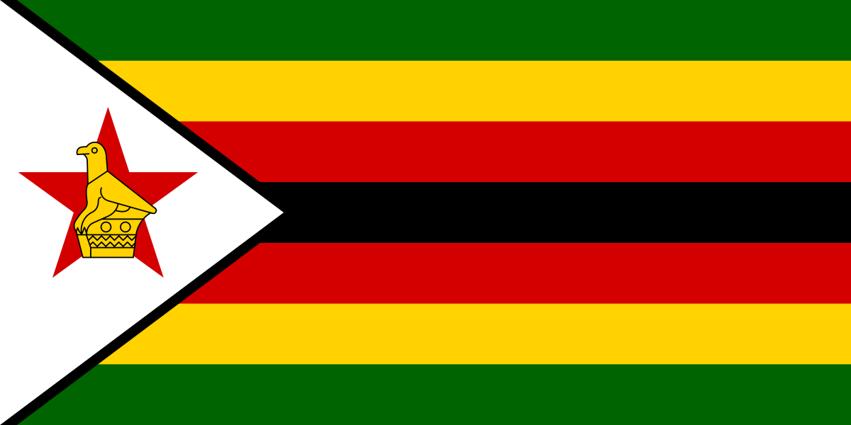 Zimbabwe: 2 steps (Namibia → Botswana → Zimbabwe)
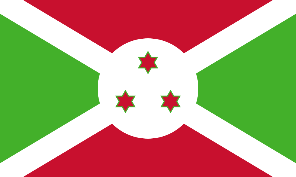 Burundi: 3 steps (Namibia → Angola → Democratic Republic of the Congo → Burundi)
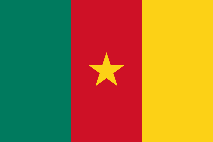 Cameroon: 3 steps (Namibia → Angola → Republic of the Congo → Cameroon)
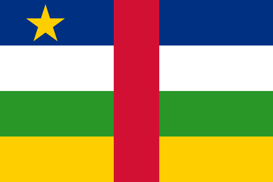 Central African Republic: 3 steps (Namibia → Angola → Democratic Republic of the Congo → Central African Republic)
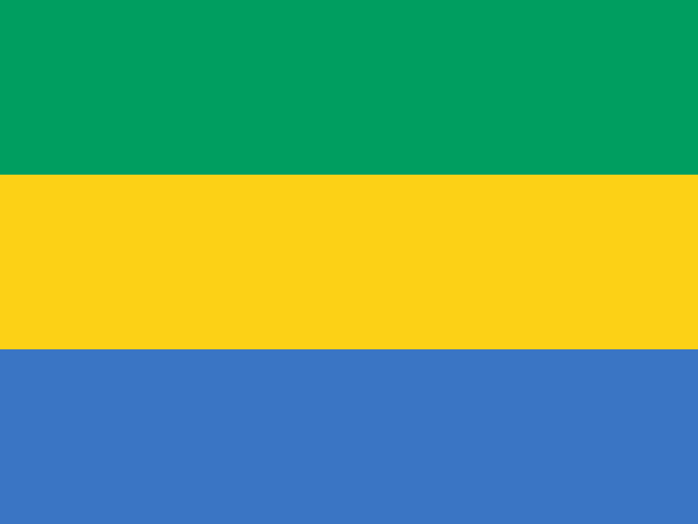 Gabon: 3 steps (Namibia → Angola → Republic of the Congo → Gabon)
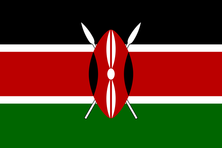 Kenya: 3 steps (Namibia → Zambia → Tanzania → Kenya)
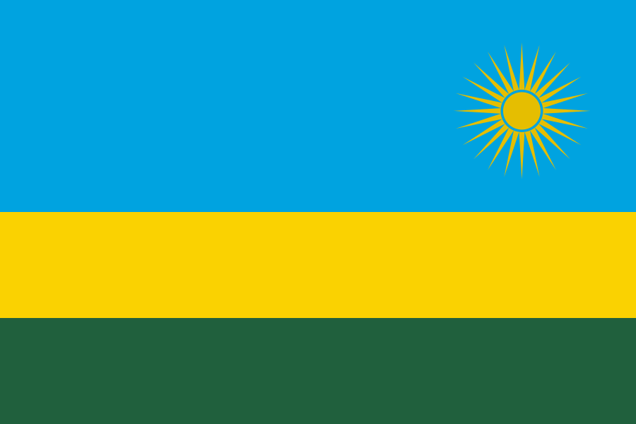 Rwanda: 3 steps (Namibia → Angola → Democratic Republic of the Congo → Rwanda)
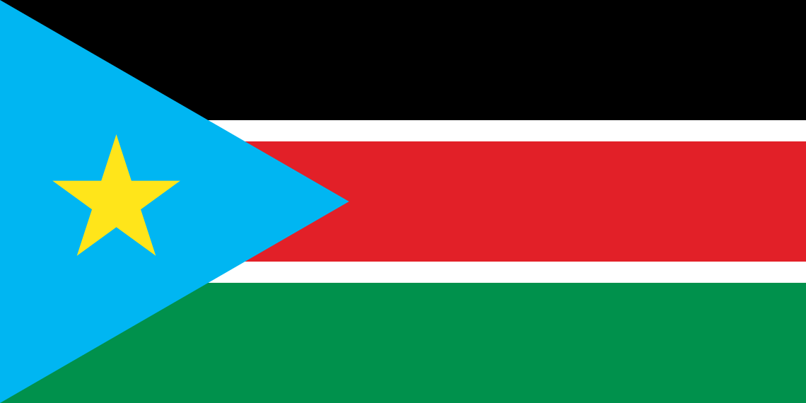 South Sudan: 3 steps (Namibia → Angola → Democratic Republic of the Congo → South Sudan)
 Uganda: 3 steps (Namibia → Angola → Democratic Republic of the Congo → Uganda)
World Heritage in Namibia
UNESCO lists 2 World Heritage properties in Namibia: 1 cultural and 1 natural. The first, inscribed in 2007, was Twyfelfontein or /Ui-//aes.
- Twyfelfontein or /Ui-//aes (cultural, inscribed 2007)
- Namib Sand Sea (natural, inscribed 2013)
Source: UNESCO World Heritage List (XML feed); checked 2026-10-19. Names as listed by UNESCO; descriptions on this page are our own.
Namibia — frequently asked questions
What is the capital of Namibia?
Windhoek.
Which countries border Namibia?
On land, Angola, Botswana, South Africa and Zambia, according to Natural Earth's boundary data. The Travle map uses the same neighbours.
What currency and language does Namibia use?
The currency is the Namibia Dollar (NAD) and Rand (ZAR). Unicode CLDR gives English official status.
How far can you travel from Namibia in Travle?
Following land borders only, 125 countries are reachable. The farthest need 16 steps: Papua New Guinea and Timor-Leste.
How many people live in Namibia?
The World Bank counts 3,092,816 people for 2025.
How big is Namibia?
824,292 km² of surface area (2024), according to the World Bank.
What is the dialling code and internet domain of Namibia?
The international dialling code is +264 and the country-code domain is .na.
What time zone does Namibia use?
UTC+02:00 all year (2026).
Keep exploring
- Spin the country wheel to get a random country.
- Play Travle and try to cross the map border by border.
- Browse all countries of the world, countries by population, capitals, country codes or try the flag quiz.